
Forecast Discussion:
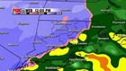
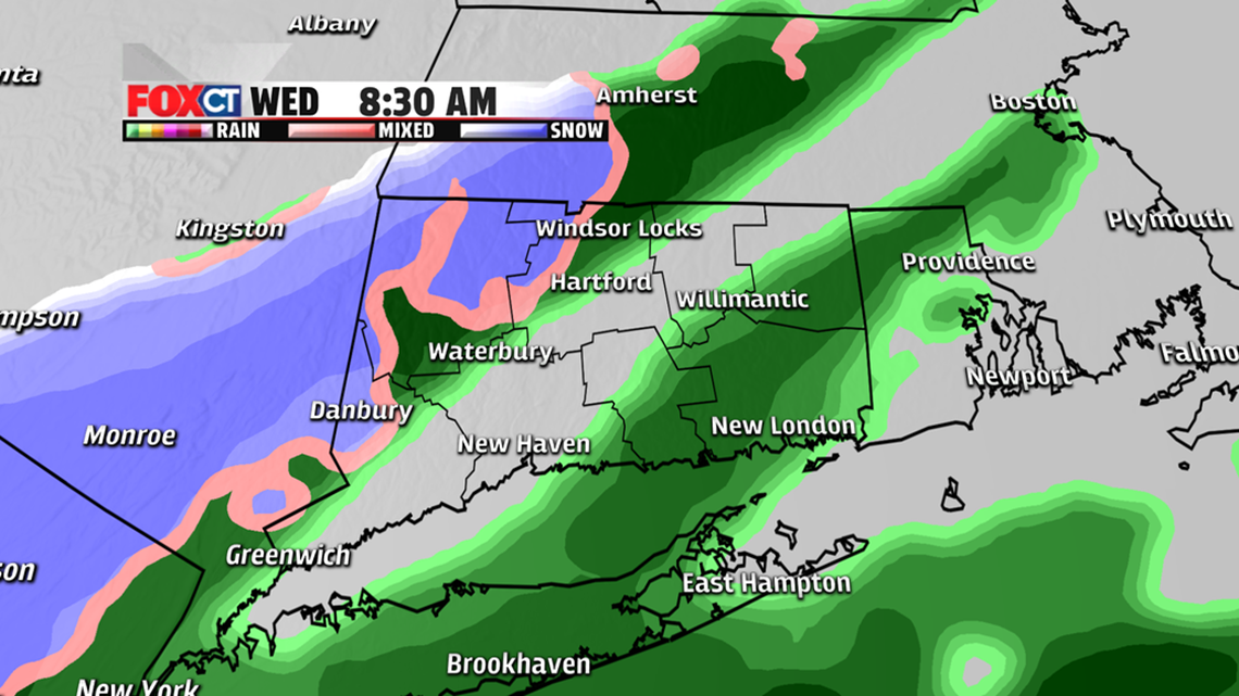
The easiest part of this forecast is the extremes. Far southeastern Connecticut will get little or no accumulation today. But the northwest hills will hit the jackpot at 6-10 inches of accumulation. The hard part lies in between--what about the rest of the state? There is a sneaky warm layer of air that has the potential to cut down on snow accumulation in favor of sleet. Figuring out how much sleet mixes in and how far north that occurs will be the key to forecasting snow totals. Rain will also mix in at times for southern Connecticut too. So I have to admit, this is a tough forecast!
Timing:
Rain and snow will develop between 5-9 a.m. The peak of the storm will hit from lunchtime through the early evening. The storm winds down sometime between 10 p.m. and 1 a.m. Thursday morning. By the time the sun comes up on Thanksgiving, it will be partly cloudy and chilly.
Accumulations:
A slushy coating in far southeast Connecticut and 1-3 inches for the shoreline, northern New London County and southern New Haven & Middlesex counties. For most of central Connecticut we'll see 3-6 inches, and there will be 6-10 inches in the northwest hills.
Bottom Line:
Thanksgiving eve will be a mixed bag with rain, snow and sleet. Any snow that falls will be heavy and wet and hard to move. Some power outages are possible in the hills. Conversely, urban flooding is possible for the shoreline with periods of rain, some heavy. Travel will not be impossible, but it will be hampered by the storm and any additional travel traffic.
Forecast Details:
Today: Rain and snow start 5-9 a.m. Mix changes to snow and sleet inland, rain and slush for the shoreline. High: 30s.
Thursday: Mostly cloudy, chance for a snow shower. Breezy and cool. High: mid- to upper-30s.
Friday: Mostly sunny, dry and chilly. High: mid-30s.
Saturday: Chance for a snow shower before daybreak. Partly cloudy, not as cool as recent days. High: upper-30s to lower-40s.
Sunday: A mix of clouds and sun, milder. High: mid-40s to around 50 degrees.