
Our brutal winter continues, with blowing and drifting snow on tap for Sunday, and cold temperatures sticking around for a while.
Tonight: Some moderate snow at times, but much of the night is snow-free. Cold temperatures in the teens.
Sunday: Morning snow showers, especially in eastern CT. Wind picks up quickly around 8-10 AM. This will lead to reduced visibility and dangerous travel in spots, especially along the shoreline. Snow tapers off by mid-day, but wind gusts 40-60 MPH will cause considerable blowing and drifting snow. Temps falling through the teens with with wind chill all day 10-20 below zero.
TOTAL SNOW ACCUMULATION 3-6 INCHES…LESS FAR WESTERN CT. With this storm, it's not so much about the accumulation as it is about the wind blowing the snow around. It may be frustrating to shovel with all that wind.
Monday/Presidents Day: Start with temps between zero and 10 below (wind chill to 30 below): Sunny, quite breezy, continued painfully cold with highs around 10 above freezing. Wind chill all day 10-20 below freezing.
Tuesday: Increasing cloudiness, highs near 20.
Tuesday night: Snow showers possible. Lows: Single digits to around zero.
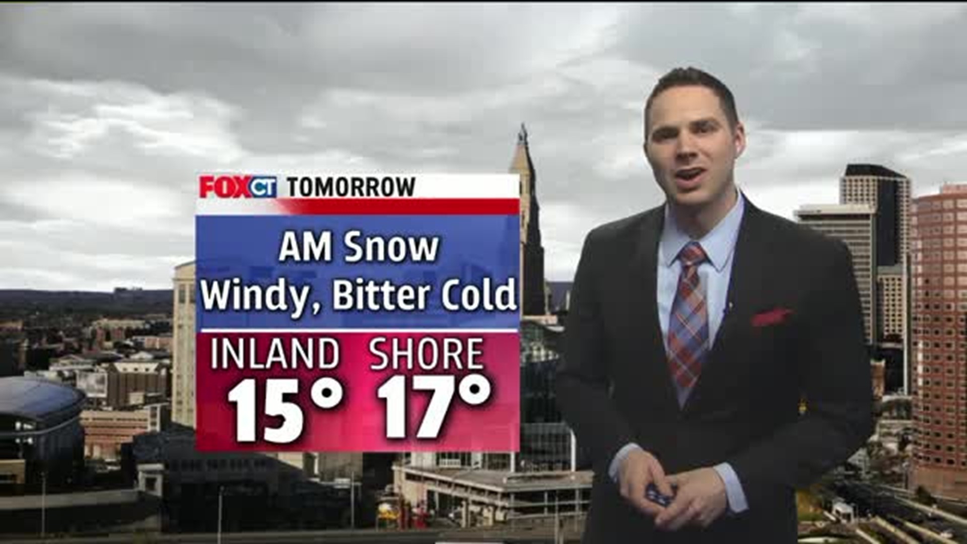
Wednesday: Snow in the morning, becoming windy 25-30 MPH. Not a major storm, but any storm at this point is just too much for most people. Highs: 20s.
Thursday: Bitter cold returns, windy with highs 5-15 above freezing. Wind chill 10-20 below freezing.