
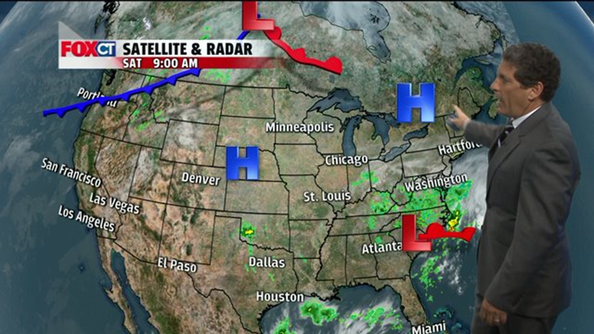
HARTFORD -- Looks like another decent day shaping up for the fall festivities such as the Big E and the UCONN Football game. High pressure will be in control as it sinks south over the weekend, keeping the dry conditions in place. However, clouds associated with a storm along the southeast coast will dim the sun at times this weekend. There will be no rain Sunday night as it will hold off until Monday in the form a few scattered showers.
Next week will feature subtle changes. Once the storm moves out sea by Monday night, the skies will clear out allowing for sunshine and very warm temperatures for this time of year. A cold front will cross the region Tuesday night into early Wednesday that will cool the northeast into the 60s by the middle and end of the week. At this point there are no big storms in sight that will end the dry conditions across Connecticut. Temperatures average near normal Monday then above normal Tuesday to below normal for the second half of the week.
Saturday: Partly sunny, seasonal. High: 68-73. Wind: NE 5-10 mph
Tonight: Mostly clear moonlit sky. Low: 40s.
Sunday: Partly sunny, pleasant. High: 65-70.
Monday: Chance for light rain/showers, otherwise mostly cloudy. High: 70s.
Tuesday: Partly cloudy, warm humid. High: 75-80.
Wednesday: Partly sunny, cooler. High: 70-75.
Thursday: Mostly sunny, breezy and cool. High: 60s.
Friday: Mostly sunny, seasonal. High: 60s.