
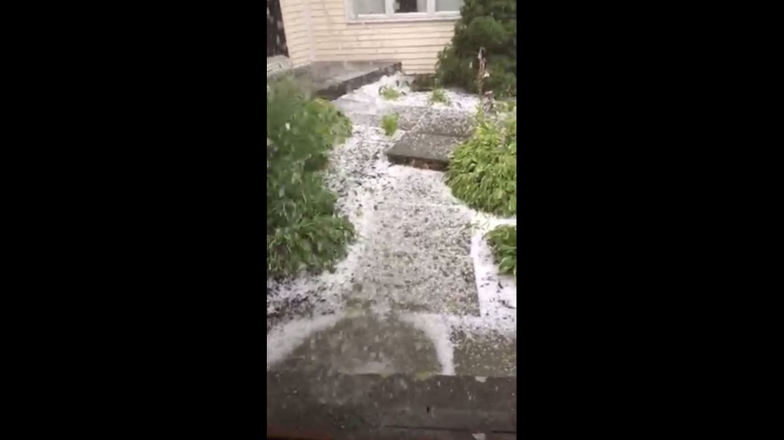
A round of thunderstorms earlier today produced street flooding, hail, lightning strikes and a few reports of wind damage. Now things are starting to calm down out there with some lingering areas of rain and a few leftover rumbles of thunder. After 9-10 PM the rest of the night will be dry but warm and humid with areas of patchy fog.
Classic summer weather continues Thursday and Friday with hazy sun, humid air and highs in the 80s. Each afternoon, scattered thunderstorms are possible but they will be less numerous than they were today (Wednesday). While most of the state will stay dry, any storms that do develop will be slow moving and could cause a lot of rain to fall over a short period of time. Showers and storms will be more widespread on Saturday as a cold front approaches. This will be followed by cooler, breezy and less humid weather starting Sunday.
Forecast Details:

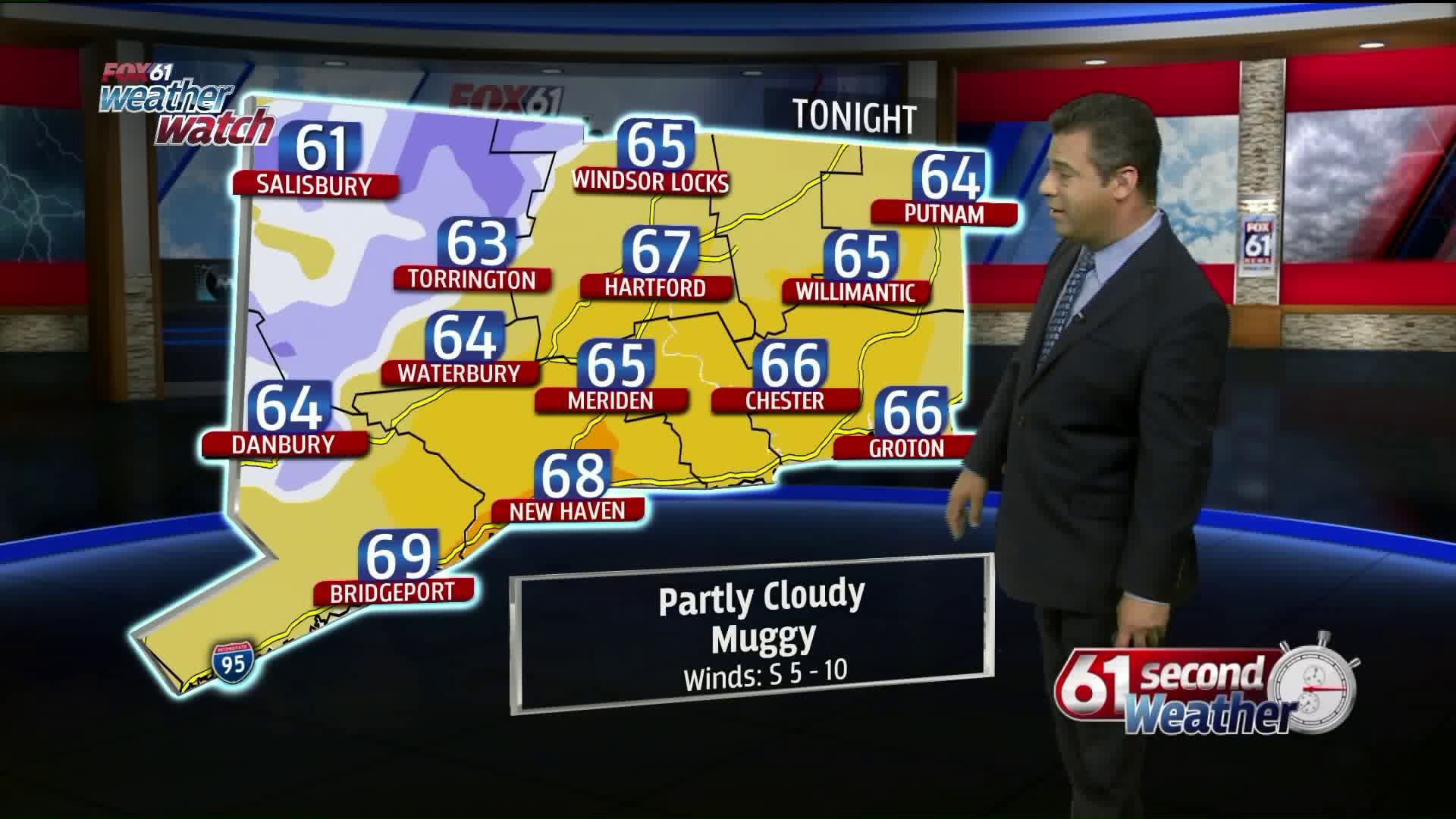
Tonight: Leftover showers early, then mild and muggy with areas of fog. Low: Mid-upper 60s.
Thursday: Partly cloudy, very warm & humid, chance for scattered afternoon storms. High: Mid-upper 80s.
Friday: Sun & clouds, humid, chance for scattered showers & t’storms. High: Low-mid 80s
Saturday: Mostly cloudy, humid, chance for scattered showers & t’storms. High: Low 80s.
Sunday: Sunny, breezy, cooler and less humid. High: Near 80.
Check out the FOX61 Meteorologists on Facebook:
Dan Amarante, Rachel Frank, Joe Furey, Matt Scott, Sam Sampieri
Or on Twitter:
Dan Amarante, Rachel Frank, Joe Furey, Matt Scott, Sam Sampieri