

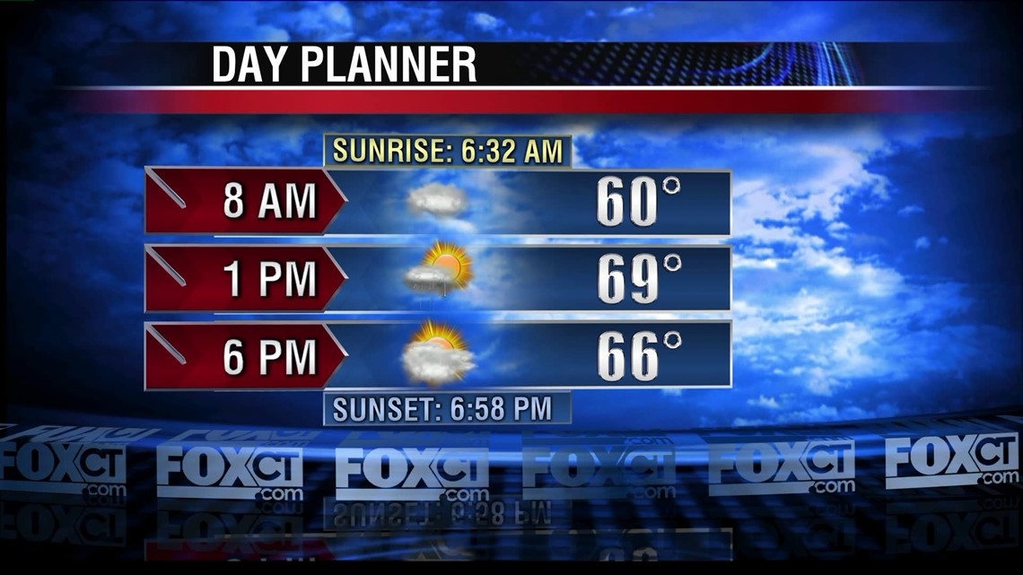
Passing showers moving along a cold front Monday morning will usher in the coolest air mass of the fall season. Temperatures will average near 70 today, in the 60s tomorrow and Wednesday and warming into the upper 70s by the end of the week. Overnight lows will average in the 30s and 40s with scattered frost possible Wednesday morning.
A modest warm-up will take shape late in the week with highs rebounding in the mid to upper 70s. A cold front will approach the region by the weekend with another band of showers. Right now the rain will be on the light side and the timing points to showers late Saturday then clearing in time for Sunday.