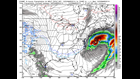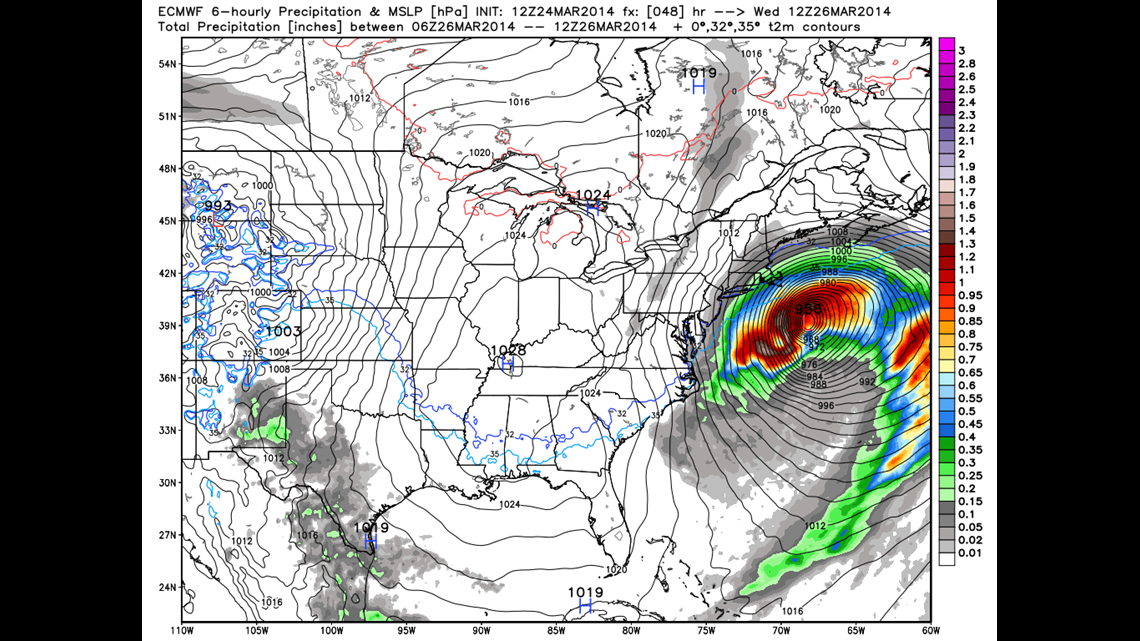
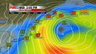
A developing ocean storm will resemble a winter hurricane with gusts to 70+ mph and waves up to 40 feet. Luckily this storm will stay well offshore, bringing only fringe effects to us here in Connecticut.

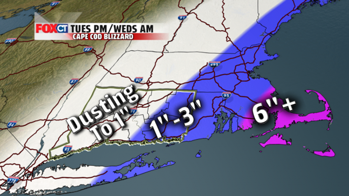
Clouds will increase on Tuesday. A few flurries could sneak in during the afternoon but most of the day looks dry. More numerous snow showers will develop at night through Wednesday morning. A coating to 1” is possible for most, with higher amounts up to 2-3” in parts of eastern Connecticut.
Tonight: Clear to partly cloudy. Low: 12-20.
Tomorrow: Increasing clouds. Chance for a flurry in spots in the afternoon. High temperatures in the mid to upper 30s. More numerous snow showers develop at night.
Wednesday: An early snow shower or flurries in spots. Then clearing. Breezy. High temperatures around the 40 degree mark.
Thursday: A mix of sun and high clouds. High temperatures in the lower 40s to middle 40s.
Friday: Mostly cloudy and milder with showers likely. High temperatures in the middle and upper 50s.
Saturday: Mostly cloudy and mild with the chance for a light shower or two. High temperatures in the middle 50s.