
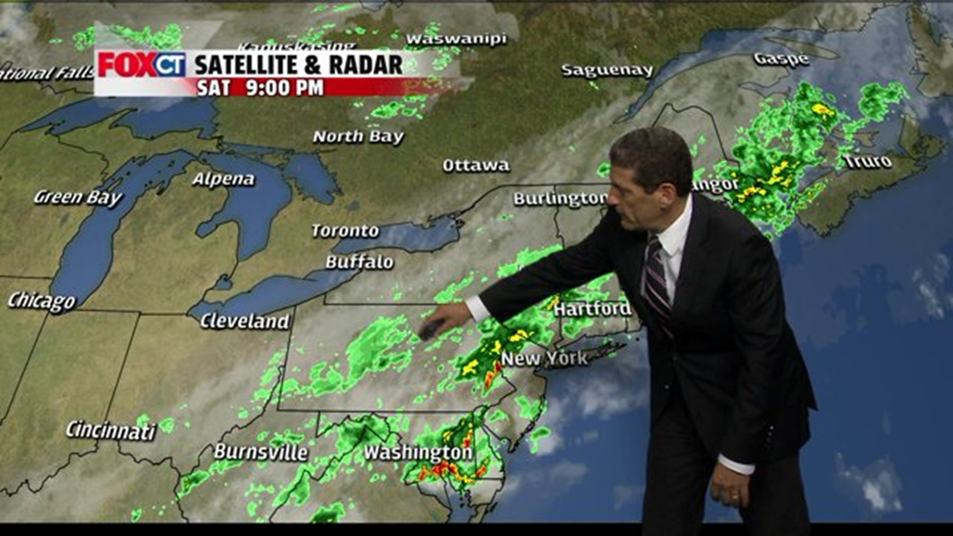
A cold front that spawned scattered strong thunderstorms this evening has brought an end to the mid-summer heat. Winds behind the front have switched to the northwest, ushering in a drier air mass as skies begin to clear out well after midnight. High pressure will deliver a spectacular Sunday with low humidity, sunny skies and seasonable temperatures across Connecticut. High pressure will drift over northern New England and into the Gulf of Maine Monday with some sun and cooler temperatures. Clouds will increase late Monday into Tuesday ahead of a developing storm system off the North Carolina Coast. Current indication is that the storm moves far enough out to sea, brushing Connecticut with clouds and a few light rain showers Tuesday. Dry fair weather returns to the region Wednesday and Thursday.
Forecast Details:
Tonight: Showers & t-storms ending, partial clearing, turning less humid after midnight: Low: 60-65. Wind: NNW 5-10 mph.
Sunday: Mostly sunny dry and pleasant. High: 75-80.
Monday: Partly sunny. High: 70’s.
Tuesday: Cloudy, slight chance for light rain or sprinkles. High: low-mid 70’s.
Wednesday: Partly cloudy, chance for a shower. High: mid 70’s.
Thursday: Partly sunny. High: upper 70’s.
Friday: Partly sunny, chance for thunderstorms. High: 80.