
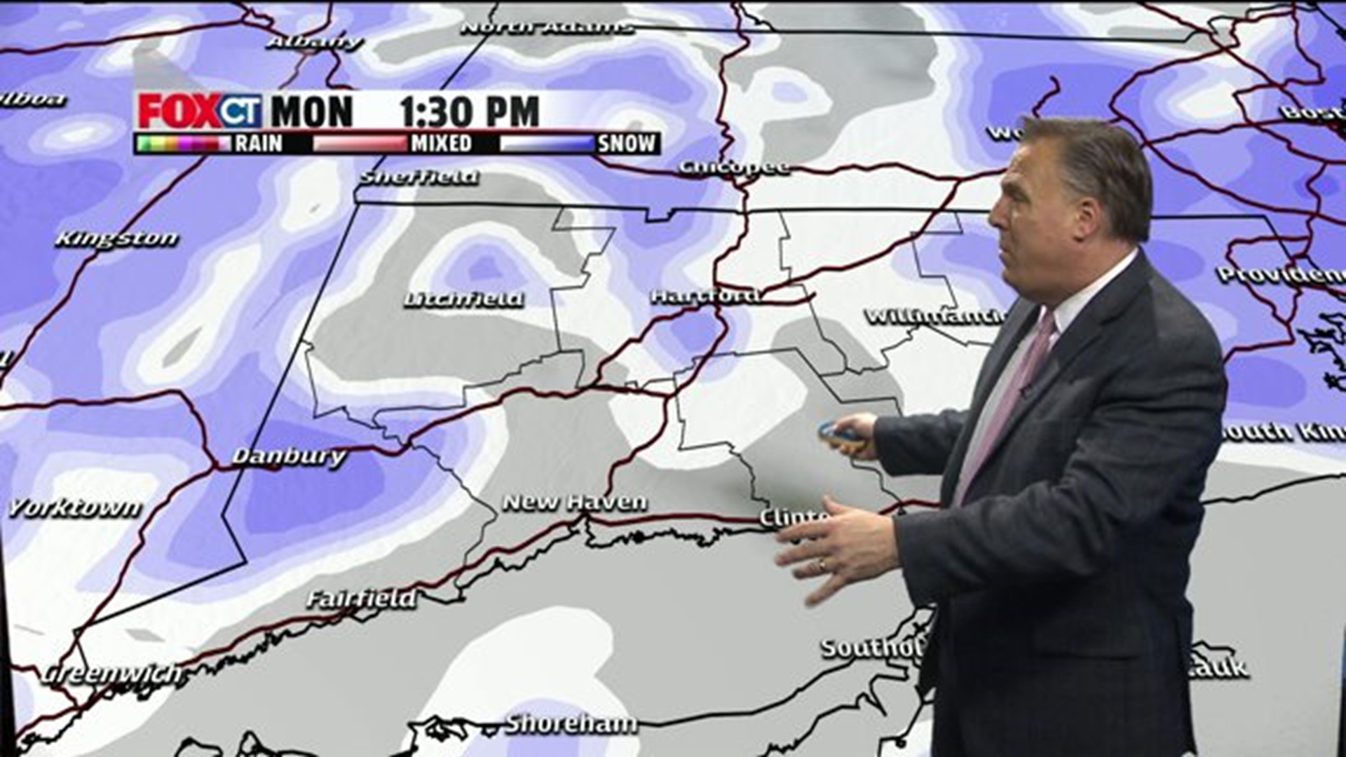
This weather pattern is going to the extreme. A serious situation developing across Eastern Massachusetts with another 2 or more feet of snow today and over 6 feet in the last two weeks with roof collapses and an urgent need to ventilate furnace output around homes. Across Connecticut for the third Monday in a row another 6-12 inches of snow, adding to the totals in the Eastern part of the state which got 2 or more feet two weeks ago.
So can it get worse? The answer is yes. Another blizzard developing near Cape Cod Thursday and then brutal, dangerous cold arrives for the weekend through early next week.
Winter storm warning
This afternoon: snow, breezy with blowing snow and cold temperatures, high 18-25. The snow will taper off between 3 and 4 p.m.
Total accumulation will be 6-12 inches with lesser amounts across Southern Connecticut
Wind NE 10-25 mph
Sunset 5:16 p.m.
Tonight: Lingering light snow thru Midnight, mostly cloudy, brisk with lows 4-14
Tuesday: Partly sunny, pleasant with high around 30
Wednesday: Partly sunny, high around 25
Thursday: More snow is expected, High: 20's.
Friday: Mostly sunny, blustery and bitterly cold. High: teens.
Saturday: Mostly sunny. High teens.
Sunday: Brutally cold. High: 5-10