After a tranquil autumn season with lots of sun and very little precipitation, get ready for an active weather pattern this first full week of December. December is the start of meteorological winter and we will have several chances for some wintry precipitation this week.
Your Sunday will feature more sunshine and a lighter wind than Saturday, so it will not feel as chilly as Saturday even though temperatures may be a few degrees cooler.
The first system is an inverted trough that will move across our area early Monday with a band of light snow. The timing is not our side as the snow will be falling during the Monday morning commute. So even though the snow will be light, allow extra time to get to work because some of the secondary road could get slick. The good news is the snow will taper off by midday followed by clearing skies Monday afternoon. The next storm will be developing in the southeast and heading towards the Mid-Atlantic, then move to our south and east with a mix of snow and sleet late Tuesday into early Wednesday, before changing to all rain on Wednesday. We’ll keep you posted as we get a little closer.
An arctic front approaches the region on Thursday with some rain and snow showers, followed by the coldest air of this early winter season by next Friday and the weekend. Temperatures will stay in 30's for daytime highs, while overnight lows could plunged into the teens. Bundle-up!
Forecast Details:
Tonight: Clear, diminishing wind. Low: 20s
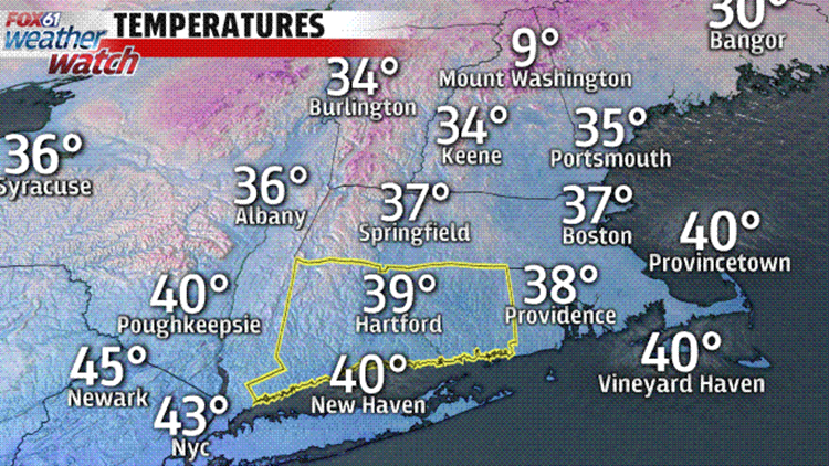
Sunday: Mostly sunny, lighter wind. High: 38-43.
Monday: A period of snow in the morning (coating-1"), clearing in the afternoon. High: 35-40.
Tuesday: Mostly sunny, then increasing clouds afternoon with the chance for light snow/mix at night. High: 30s to low 40s
Wednesday: Snow/mix/rain to all rain. High: 40s.
Thursday: Increasing clouds with the chance for rain/snow showers. High: 40s.
Friday: Partly to mostly cloudy, blustery and cold chance for flurries. High: 30s.
Saturday: Partly cloudy, windy and cold. High: 30s.
Check out the FOX 61 Meteorologists on Facebook:
Dan Amarante, Rachel Frank, Joe Furey, Matt Scott, Sam Sampieri
Or on Twitter:
Dan Amarante, Rachel Frank, Joe Furey, Matt Scott, Sam Sampieri