
Sunday, we will see a return of the sun, and temps will be much warmer. However, some residual atmospheric energy combined with meager instability generated by the heating of the day could mean a few thunderstorms in the afternoon.
The start of the work week looks promising with pleasant conditions and seasonable weather. However, a weak system should push through by Thursday, giving us a chance for a rumble of thunder or two.
After that - temps will skyrocket. Another heat wave is currently forecast to develop, lasting through at least next Sunday. Temps will challenge, if not break existing records according to the latest model data. Best bet - Put the 4th of July festivities off until the 4th -or the following weekend for a better chance at cooler weather.
FORECAST DETAILS:
SUNDAY: Sun & clouds, warmer, bit humid. Chance isolated shower/storm late. High: Low 80s.
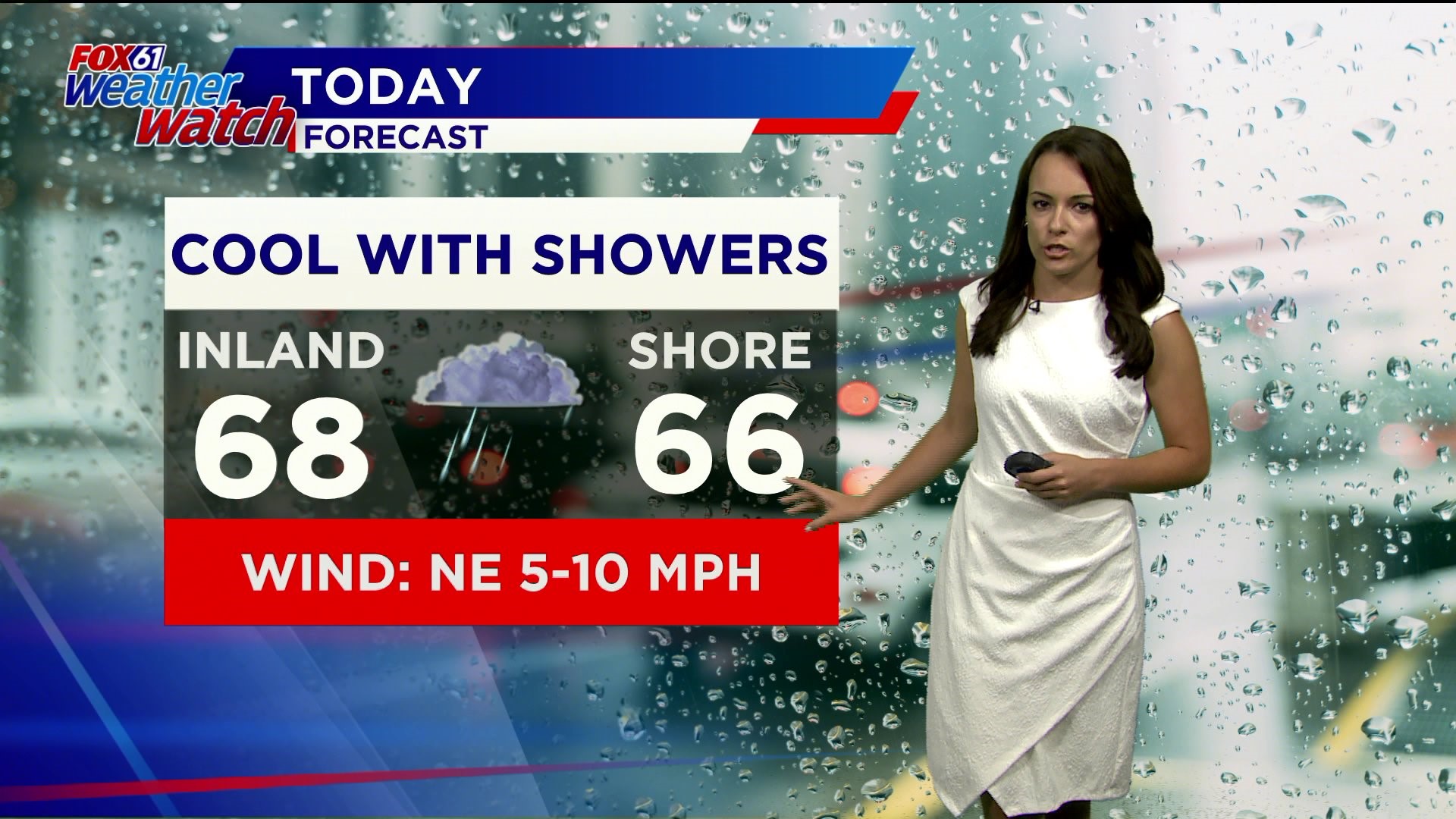
MONDAY: Leftover shower early, clearing. Breezy. High: 70s.
TUESDAY: Sunny. High: 80s.
WEDNESDAY: Sunny. Breezy. High: 80s.
THURSDAY: Chance for a PM Thunderstorm. High: Upper 70s/Low 80s.
FRIDAY: Hot. High: Low 90s
SATURDAY: Hot. High: Mid 90s.
Follow our weather team on Facebook!
Dan Amarante, Rachel Frank, Matt Scott, Sam Sampieri, Tim Lavigne, Rachel Piscitelli
Or on Twitter:
Dan Amarante, Rachel Frank, Matt Scott, Sam Sampieri, Tim Lavigne, Rachel Piscitelli