
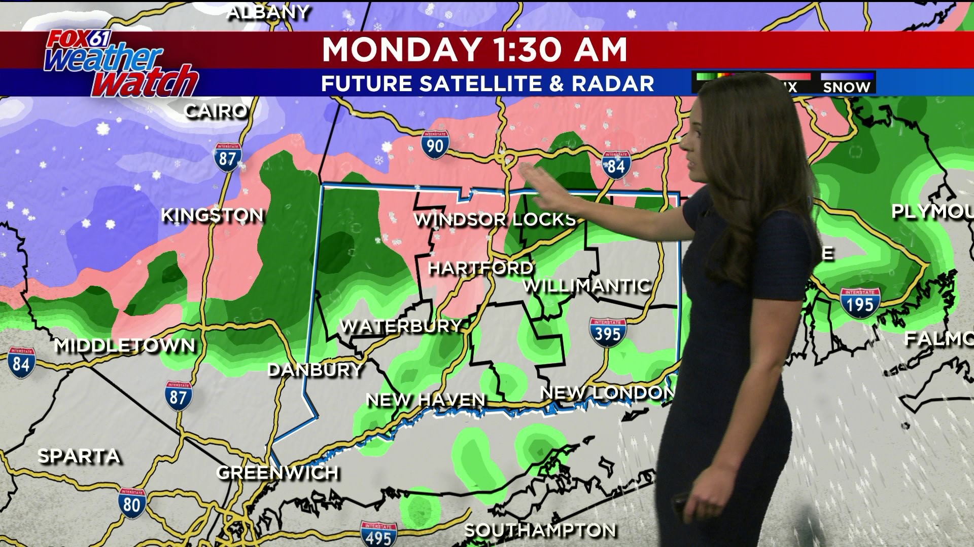
Another quiet day ahead with mostly cloudy skies until a disturbance moves through the area late tomorrow. Cold air is in place, so conditions will support snow mainly for Litchfield and Hartford county. But right it looks like any chance of snow just clips the Massachusetts/Connecticut boarder. A general transition though will occur with rain and some frozen precipitation, maybe even some freezing drizzle. This will possibly cause issues for the northern half of the state through the commute.
Similar story on Tuesday, ahead of an arctic front. That will mean the chance for some rain/snow showers, with dicey travel possible.
Wednesday will be the first big day of cold. That will last through Thanksgiving, and Black Friday. Temperatures will approach record lows on Thanksgiving. By Saturday temperatures will be back into the low 40s, but still below average.
FORECAST DETAILS:
TONIGHT: Partly cloudy. Low: upper 20s to 30.
SUNDAY: Mostly cloudy, chance PM flurries. High: Near 40.
MONDAY: AM wintry mix changing over to rain, mostly cloudy. High: Low 40s.
TUESDAY:Chance of snow switching over to rain. High: Near 40.
WEDNESDAY: Mostly sunny. High: Mid 30s.
THURSDAY: Sunny, cold. Record Low possible. (Record Low: 14 (1967)) High: Near 30
Follow our weather team on Facebook!
Dan Amarante, Rachel Frank, Matt Scott, Sam Sampieri, Tim Lavigne, Rachel Piscitelli
Or on Twitter:
Dan Amarante, Rachel Frank, Matt Scott, Sam Sampieri, Tim Lavigne, Rachel Piscitelli