
With the high pressure set up we have currently we will enjoy another day with mainly clear skies. However it will be another below average day with highs in the upper 30s. This cold air will stick with us through most of the week but so will the dry conditions. The continued dominance of strong high pressure will mean dry weather. It looks like two major systems will stay well to our south so good news there.
Our next chance for any precipitation comes just in time for the weekend. Currently this is looking like strictly a rain event as temperatures do start to moderate heading into the weekend. By Saturday we could see some towns closer to shoreline seeing near 50 degrees.
FORECAST DETAILS:
TONIGHT: Mainly clear. Low: 10s-20s
SUNDAY: Sunny. High: Mid-upper 30s.
MONDAY: Sunny: High: Upper 30s.
TUESDAY: Sunny, colder. High: Mid 30s.
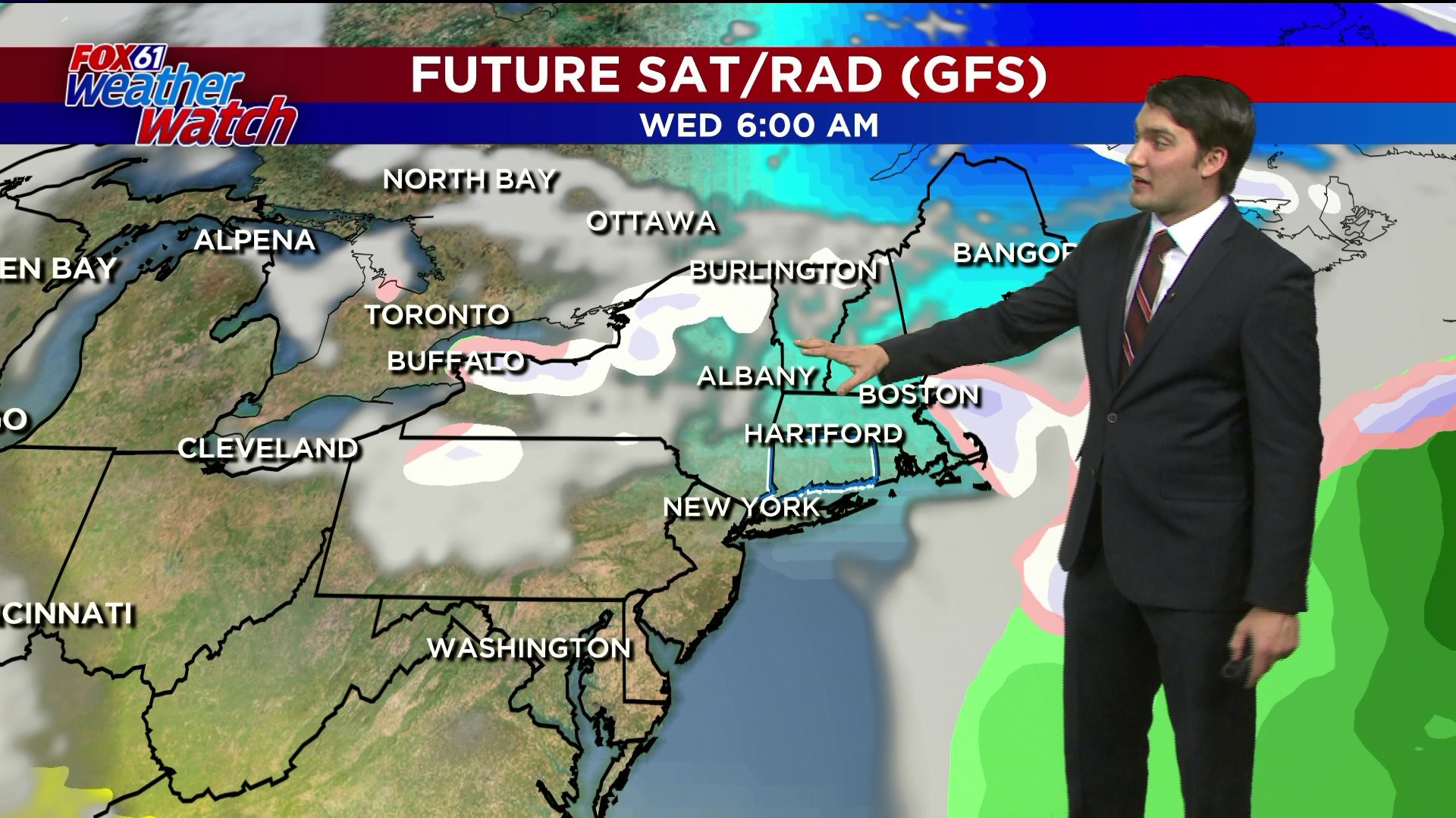
WEDNESDAY: Mostly sunny. High: Low-Mid 30s.
THURSDAY: Not as cold. High: low-mid 40s.
Follow our weather team on Facebook!
Dan Amarante, Rachel Frank, Matt Scott, Sam Sampieri, Tim Lavigne, Rachel Piscitelli
Or on Twitter:
Dan Amarante, Rachel Frank, Matt Scott, Sam Sampieri, Tim Lavigne, Rachel Piscitelli