
A quick burst of snow this morning left a coating on the grass in NW Connecticut. This snow was not modeled at all, and was unexpected. Thankfully, it was light, and had little impact. As we head into the last days of 2018, a storm is brewing. Rain will return Monday evening.
This storm should be a soaker. Temps will skyrocket into the 50s on the warm side of the storm and there could be up to 1 inch of rain accumulation. The storm will taper overnight New Year's Day.
There is another storm possible on Thursday. However, there is a major issue: Models don't have a handle on it at all. Our best guess at this juncture is that a coastal storm will be in the area between Thursday and Friday. Precip type is up in the air - with the faster GFS model bringing a full-fledged Nor'easter to our area. The Euro model is slower and brings rain. At this point - The storm on Tuesday and its evolution will determine which model wins out. Track will be the biggest key - along with the amount of cold air that is driven south thanks to the first storm.
After that, next weekend looks pleasant.
SUNDAY: Partly cloudy and chilly. High: Low 30s.
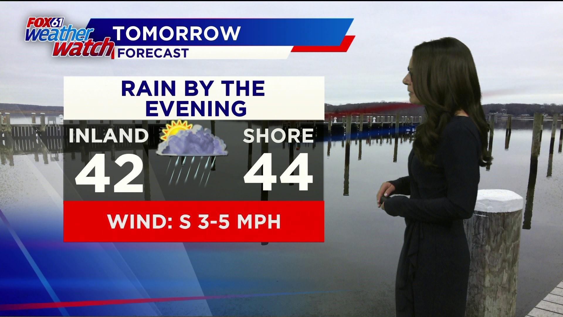
NEW YEAR’S EVE: PM rain, possibly continuing into the midnight hour. Highs around 40.
NEW YEAR'S DAY: A morning shower, then clearing out and warming up. Highs around 50.
WEDNESDAY: Partly cloudy. High: upper 30s.
Follow our weather team on Facebook!
Dan Amarante, Rachel Frank, Matt Scott, Sam Sampieri, Tim Lavigne, Rachel Piscitelli
or on Twitter:
Dan Amarante, Rachel Frank, Matt Scott, Sam Sampieri, Tim Lavigne, Rachel Piscitelli