
Wow! Today was definitely in the top 5 weather days for this year. Mid to upper 60s across much of the state.
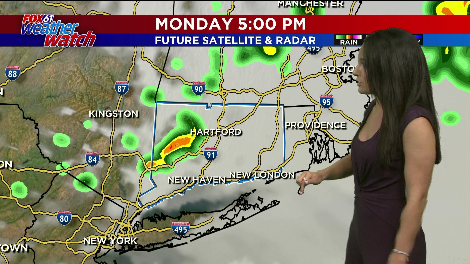
The clouds are starting to thicken up this evening and especially overnight tonight. Any evening plans no need to reach for the umbrella. However, by 2-3 AM our next rainmaker will make it's arrival. It'll be a rainy commute with those windshield wipers going a little faster from time to time. By the afternoon we dry things out. But an isolated shower not out of the question heading into the late afternoon. We also could hear a rumble of thunder in some locations (best chance in western CT) as a cold front moves through bringing those scattered showers.
After that we'll dry things out just a bit in the overnight hours with Tuesday's commute being much drier. That being said there is a chance we see some more showers Tuesday evening as another low pressure system tracks to the north of us.
Better weather is expected Wednesday and Thursday trade off we're a bit cooler with highs in the middle to upper 50s.
Next chance for rain joins us on Friday night.
FORECAST DETAILS:
TONIGHT: Clouds thicken. Low: Mid 40s
MONDAY: AM rain then clearing. High: 60s.
TUESDAY: Chance shower. Milder. High: Mid-upper 60s.
WEDNESDAY: Partly cloudy, cooler. High: 50s.
Follow our weather team on Facebook!