
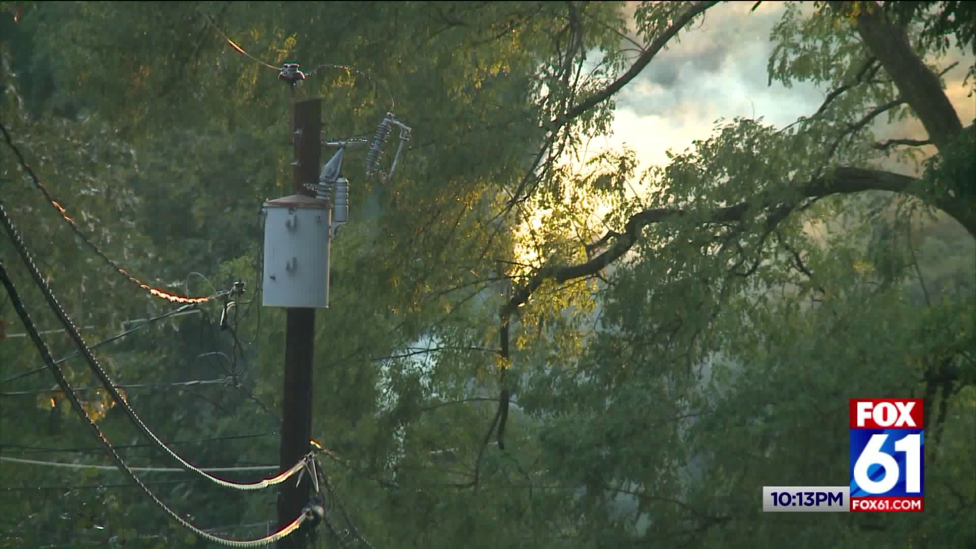
Storms moved through the state this afternoon leaving some significant damage in some towns. FOX61's Zinnia Maldonado was in the Vernon/Rockville neighborhood after a trees feel onto power lines on Prospect Stree. Here's a look at what she saw at that scene.
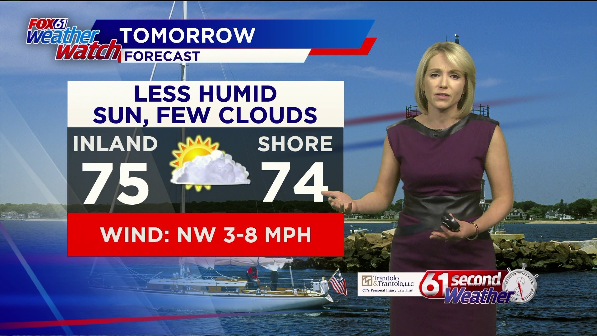
Tonight is a much different story. We'll be dry, less humid which sets the stage for a nice Thursday for us. Temperatures will be cooler in the mid 70s. So pretty nice day for us here locally!
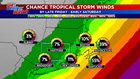
On Friday we're on the WEATHER WATCH again for fringe effects of Hurricane Dorian. While the threat of getting major impacts from the storm remain low, some rain and a gusty breeze is certainly possible. The probability of tropical storm-force winds here in Connecticut is 5%-10% but higher for areas like Nantucket which is up to 40%.

As of the 11pm update Hurricane Dorian is a category 3 storm with winds up to 115 mph. The storm is following the contours of the Florida and Georgia coast, keeping the worst winds, rain and surge offshore. But the latest track puts Dorian close to a possible landfall in South Carolina and North Carolina. Even if the eyewall doesn't hit the Carolinas, damaging winds, flooding rain and rough surf are likely. At the same time, Dorian's wind field will grow larger which is why a gusty breeze is possible in CT Friday into Saturday even if the storm stays hundreds of miles offshore. We may get brushed with some rainfall as the storm grazes us, but there won't be any significant impact here.
TRACK DORIAN WITH OUR INTERACTIVE MAP HERE:
FORECAST DETAILS:
TONIGHT: Clearing skies. Lows: 55-63.
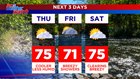
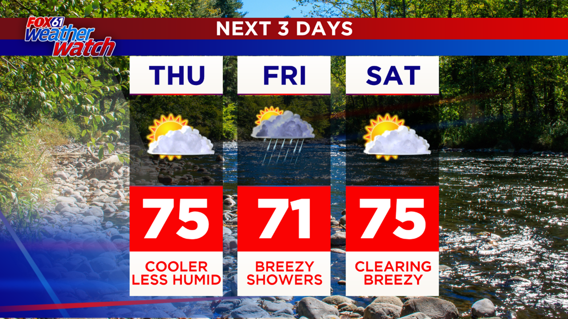
THURSDAY: Clearing, cooler, less humid. High: Low-mid 70s.
FRIDAY: Mostly cloudy, breezy and cool, chance for showers/rain and a gusty breeze. High: Low 70s.
SATURDAY: Clearing, breezy/windy AM. High: 70s.
SUNDAY: Mostly sunny. High: Low-mid 70s.
MONDAY: Sunny. High: Low 70s.
Follow our weather team on Facebook!
Dan Amarante, Rachel Frank, Matt Scott, Sam Sampieri, Rachel Piscitelli
And on Twitter:
Dan Amarante, Rachel Frank, Matt Scott, Sam Sampieri, Rachel Piscitelli