
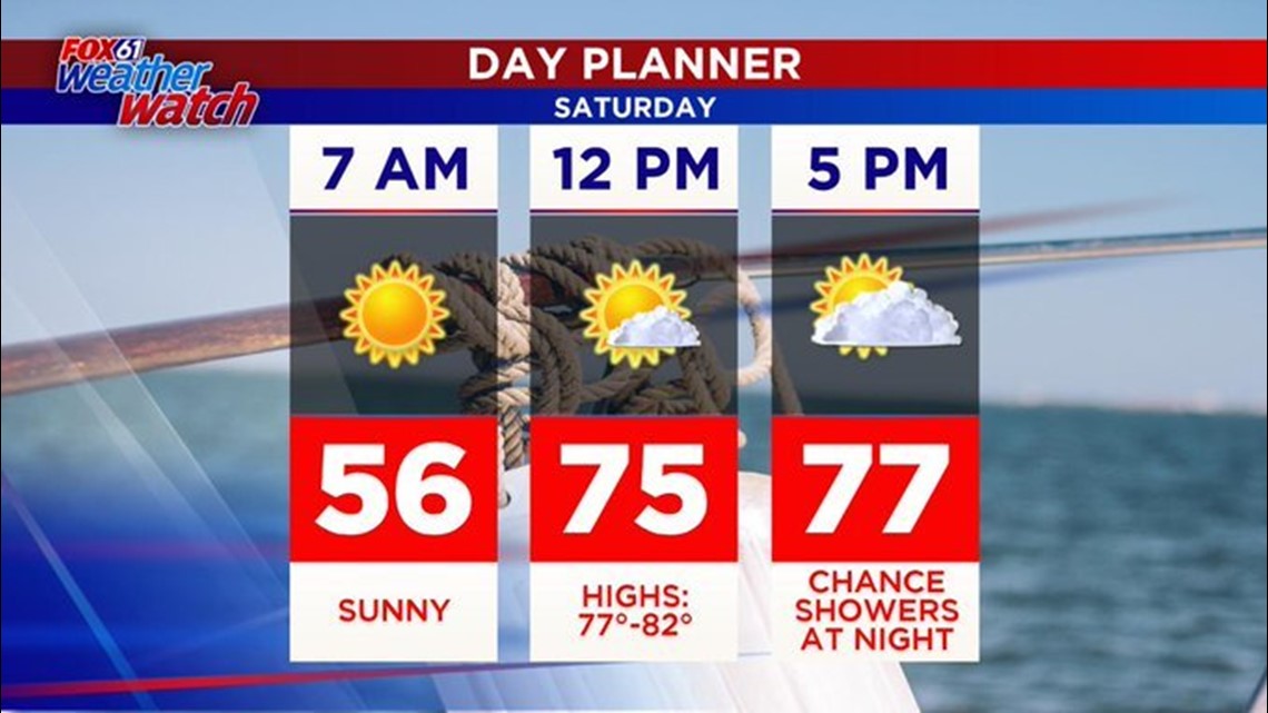
After a fall-feel Friday, we're back to "summer" today with highs near 80 degrees under partly to mostly sunny skies.

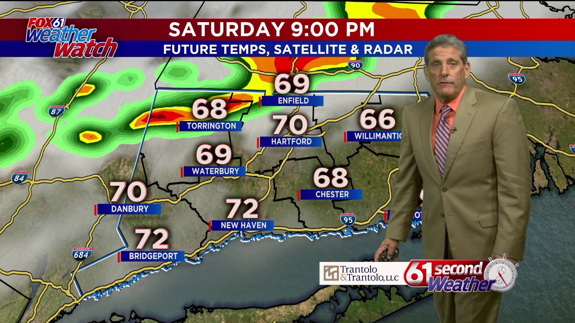
There is a chance for some showers or even a rumble of thunder tonight after 9-10 PM. But the rain will be gone by early tomorrow morning. Then we're in for another great day with early clouds breaking for sun. Temperatures will be a bit cooler Sunday with highs in the low-mid 70s.
A bigger warm-up arrives Wednesday of next week with highs in the low-mid 80s! Then 24 hours later, temperatures will crash with a true fall feel later next week with highs in the 60s.
FORECAST DETAILS:
TODAY: Partly to mostly sunny, warmer. High: Upper 70s-low 80s.
TONIGHT: Chance for showers through midnight, then clearing. Lows: 50s-60.
SUNDAY: Early clouds to sun, bit cooler. High: mid-upper 70s.
MONDAY: Sunny. High: Low-mid 70s.
TUESDAY: Chance for an early shower, then turning warmer. High: Near 80.
WEDNESDAY: Warmer. High: low-mid 80s.
THURSDAY: Chance showers, cooler. High: 60s.
FRIDAY: Partly cloudy. High: 60s.
Follow our weather team on Facebook!
Dan Amarante, Rachel Frank, Matt Scott, Sam Sampieri, Rachel Piscitelli
And on Twitter:
Dan Amarante, Rachel Frank, Matt Scott, Sam Sampieri, Rachel Piscitelli