HARTFORD, Conn. — Tropical forecasting has improved a lot in the last two decades.
Go back 20 years, and 48 hours prior to landfall, the average track error was nearly 150 miles.
The average error now is less than half of that.
That said, small shifts and wobbles in a hurricane's track, even right up to landfall, can drastically change the impacts for a particular location.
Storm surge flooding is perhaps the impact that is most sensitive to the actual path of the eye. Storm surge is produced by water being pushed toward the shore by the force of the wind moving cyclonically around the storm. Bays, inlets, and low-lying coastal locations can be inundated with feet of water, above normally dry ground.


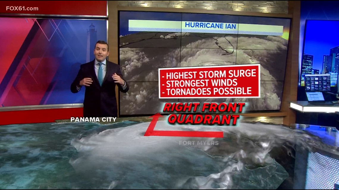
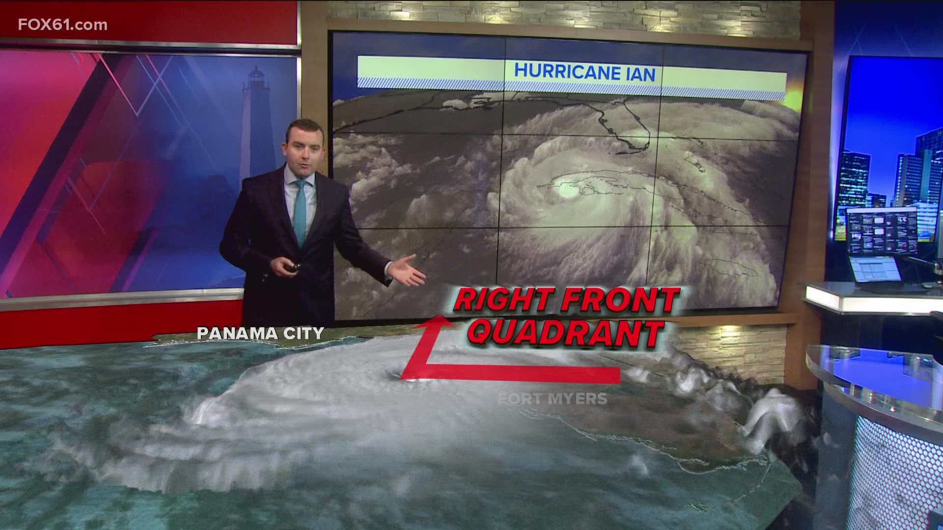
So, in the case of Hurricane Ian, parts of the Gulf Coast directly right and ahead of its track will see the worst surge.
If you have friends or relatives in the Tampa - St. Petersburg area, here are links to more detailed coverage of the storm in that area from our sister station WTSP.com
- Tampa Bay-area evacuations for Hurricane Ian: See county-by-county list
- Tampa Bay school districts issue closures ahead of Ian: See county-by-county
- 'Life-threatening' storm surge a major risk for Tampa Bay area
- WATCH: Hurricane Ian live streams from around the Tampa Bay area
- Tampa International Airport suspends operations Tuesday ahead of Hurricane Ian
As the forecast has shifted a bit south and east over the last 24 hours, the area of concern for the most significant surge has shifted too.
What could have been a south or southeast wind directly into Tampa Bay could now be more of a north or northeasterly wind, if the storm makes landfall to its south.
What's possibly good news for one part of the coast is much worse news for another. The Fort Myers area in particular could now see more severe surge than initially forecast.
However, it all depends on where the eye exactly makes landfall. There can still be wobbles and slight shifts right up until it comes ashore. Hurricanes don't move in straight lines.
Well beyond the eye, there will be heavy rain and an expansive area of damaging winds, likely to cause widespread power outages in western and central Florida.
Ryan Breton is a meteorologist at FOX61 News. He can be reached at rbreton@fox61.com. Follow him on Facebook, Twitter and Instagram.
Have a story idea or something on your mind you want to share? We want to hear from you! Email us at newsteam@fox61.com
HERE ARE MORE WAYS TO GET FOX61 NEWS
Download the FOX61 News APP
iTunes: Click here to download
Google Play: Click here to download
Stream Live on ROKU: Add the channel from the ROKU store or by searching FOX61.
Steam Live on FIRE TV: Search ‘FOX61’ and click ‘Get’ to download.

