HARTFORD, Conn. — Despite the destruction storms can cause, people often forget to ask themselves if they are ready for the next big event.
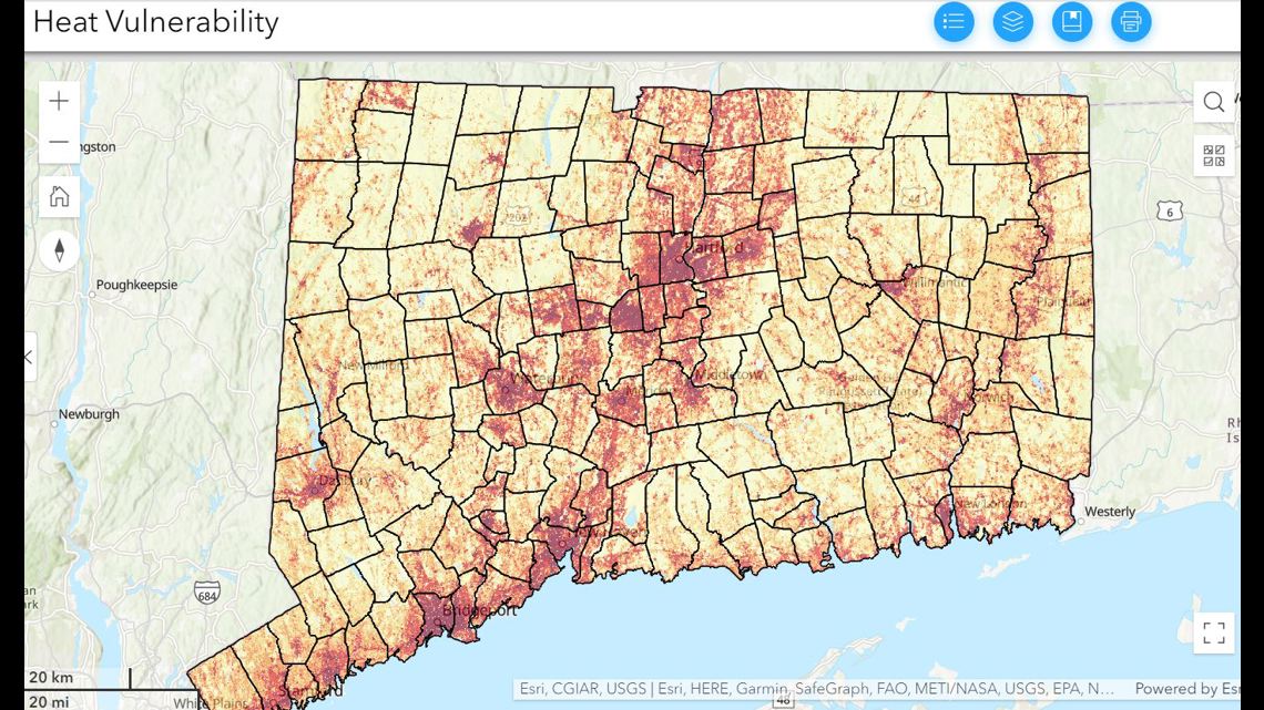
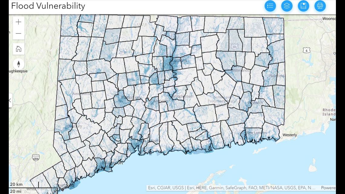
The Connecticut Institute for Resilience and Climate Adaptation at UConn has developed the Climate Change Vulnerability Index to map the potential risk down to one's street.
It takes three elements to determine vulnerability: exposure, sensitivity and adaptive capacity. In other words, the potential to change structures and systems to better handle severe weather.
Right now, it’s running for two weather elements: heat and flood.


Some of the trouble spots are already known. For example, the North End of Hartford floods frequently. The Hartford Flood Compensation Program began last year, with five million dollars set aside for relief.


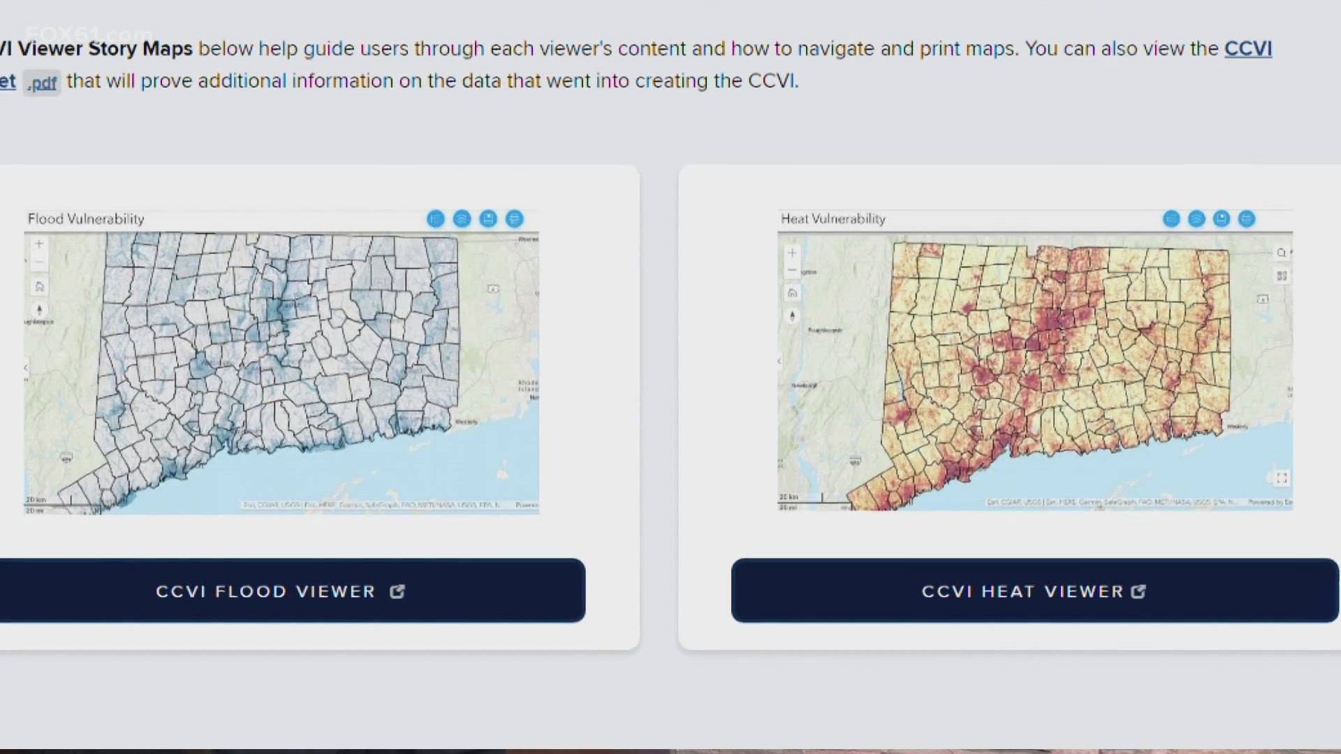
Towns and cities can use this tool when they are assessing their risk. To check out the tool, click here for heat and here for flood.
Ryan Breton is a meteorologist at FOX61 News. He can be reached at rbreton@fox61.com. Follow him on Facebook, X and Instagram.
---
Do you have a story idea or something on your mind you want to share? We want to hear from you! Email us at newstips@fox61.com.
---
HERE ARE MORE WAYS TO GET FOX61 NEWS
Download the FOX61 News APP
iTunes: Click here to download
Google Play: Click here to download
Stream Live on ROKU: Add the channel from the ROKU store or by searching FOX61.
Stream Live on FIRE TV: Search ‘FOX61’ and click ‘Get’ to download.

