Who’s ready for some colder weather??
If you live in the mid-west, you might not have much of a choice.
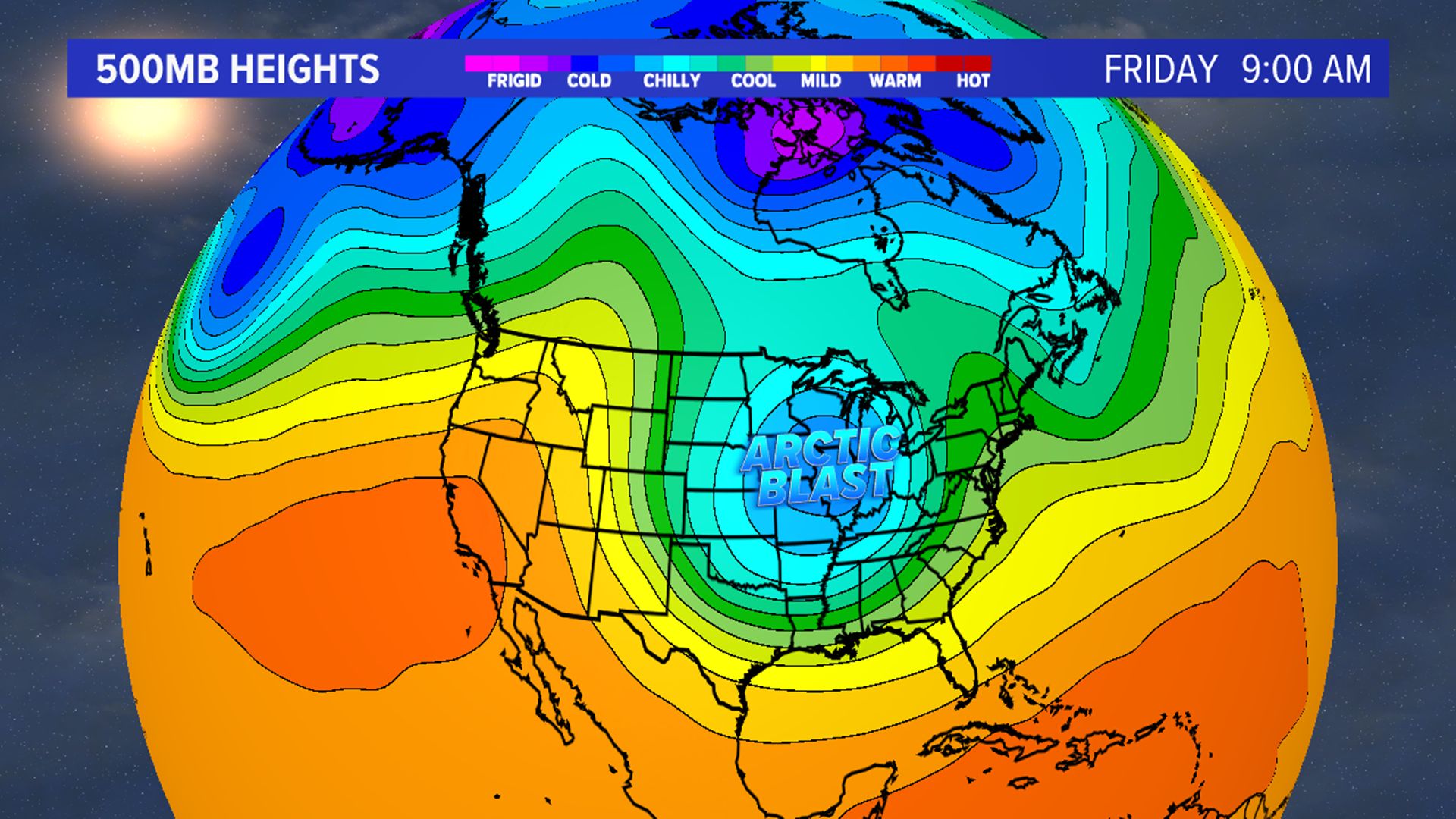
The polar vortex, which is a very large upper level low pressure system rotating over the North and South poles, is about to break off and take a quick trip down to the United States.
It does this during the winter with increased instability, allowing the low pressure system to expand. So what does that mean for us?
A more active period of winter weather, that’s exactly what that means! This robust split of the polar vortex brings extreme cold and snow to parts of the United States by the end of this week into the beginning of next week.
Like most weather systems, the polar vortex weakens and strengthens throughout the year. When the polar vortex is strong during the winter, that means we are forecasting for more mild conditions because that cold air is trapped in the arctic.
However, when the polar vortex is weak, brutally cold air escapes and shoots southward towards the United States.
While this is not an unusual event, this breaking of the polar vortex is particularly strong this time around.
The weather pattern that is beginning to set up across the United States shows the potentially for a storm in the Great Plains and could very well make it’s way across and into the Mid-Atlantic by the beginning of next week.
With the inauguration set for January 20th, it is possible that we could be seeing some snow on Inauguration Day.

