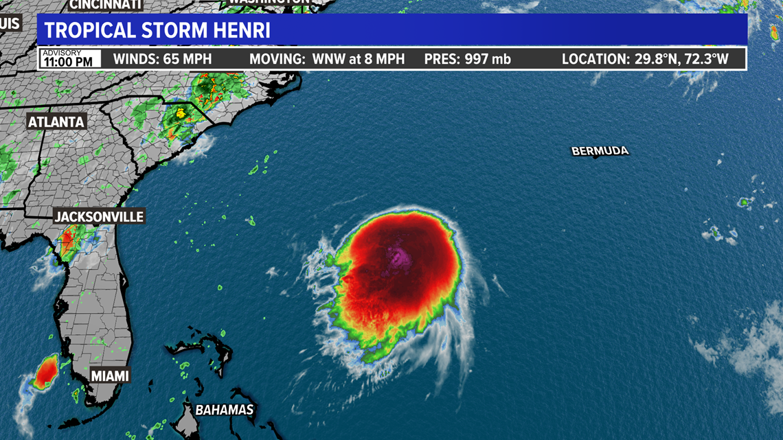
CONNECTICUT, USA — All eyes are on Tropical Storm Henri, spinning southwest of Bermuda.
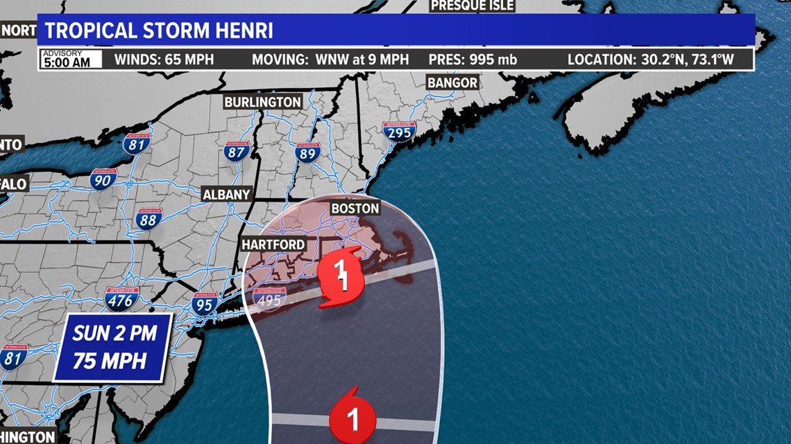
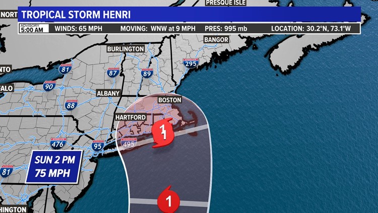
The storm is expected to turn north on Friday, strengthening into a category 1 hurricane and paralleling the east coast.
A Hurricane Watch has been issued for parts of Long Island Sound and parts of the Connecticut coast. From New Haven points east, a Hurricane Watch is in effect. From New Haven points west, a Tropical Storm Watch, according to the National Weather Service.
A Storm Surge Watch has also been issued for all of Connecticut's coastline.


There are a range of possible solutions on the table including a direct hit, or even a storm moving farther offshore with less impact here in CT (can we vote for that one?) However, there is a rising chance for some direct impact from the storm. Is it flooding rain, damaging wind/storm surge? That all depends on the track.
The right side of the storm's track is where you will find the worst wind and surge. Along and left of the storm's track is where the best chance for flooding rain will be.
Right now there are a lot of models that take the storm over the Cape. This would put the worst winds east of Connecticut but could leave the chance for flooding rains in play.


Friday will be the time to make decisions regarding changing plans or preparing. We hope to have a much better handle on the forecast then.
No matter what track Tropical Storm Henri takes, rough surf and beach erosion is likely at ocean-facing beaches like Misquamicut, Cape Cod, Block Island, etc.
---
HERE ARE MORE WAYS TO GET FOX61 NEWS
Download the FOX61 News APP
iTunes: Click here to download
Google Play: Click here to download
Stream Live on ROKU: Add the channel from the ROKU store or by searching FOX61.


